
Event Navigation


Webinar: Esri Imagery Summit
This event is not run by an association in the Tech Alliance, but may be of interest to some members.
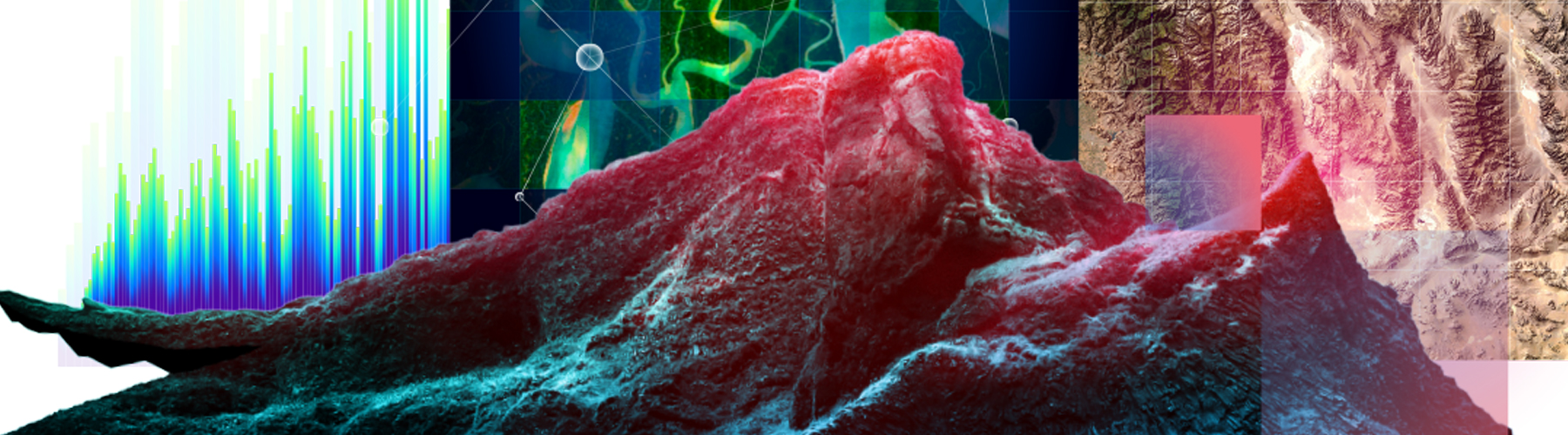
Accelerating Intelligence from Imagery
Remote sensing plays a critical role in understanding our world. Raw data from terrestrial, aerial, and satellite sensors can be transformed into powerful multidimensional content, updating and greatly enhancing the information within any GIS. Discover how the ArcGIS imagery platform helps you harness geospatial information and supports multiple cross-domain industries to drive success.
REGISTER NOW